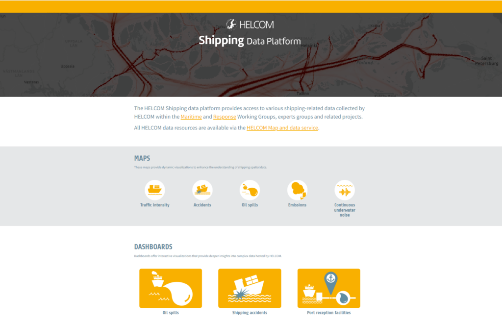
HELCOM has long collected various shipping and maritime-related data within the HELCOM Maritime Working Group, Expert Groups and projects. Now, this data is more accessible than ever with the launch of a new, user-friendly shipping data platform.
The platform is organized into three sections for easy navigation:
- Maps: Links to map resources in the HELCOM Map and data service and customized thematic map viewers (e.g. EMERGE map viewer showcasing different emission scenarios produced in EMERGE project)
- Dashboards: Interactive charts and figures displaying e.g. time series of amounts of illegal oil spills observed in the Baltic Sea
- Stories: Stories and more in-depth information based on project results, showcasing various aspects of shipping in the Baltic Sea.
The shipping data platform utilizes datasets published in HELCOM Map and data service with customized visualizations tailored for these specific datasets. Datasets are results from specific projects or resulting from the annually collected data flows under HELCOM data collection policy. All datasets can be downloaded from the HELCOM Metadata catalogue.
Contact
Joni Kaitaranta
Senior Data Manager, HELCOM
